Regional/Urban Planning
SR 28 Corridor Management Plan
Lake Tahoe, Nevada
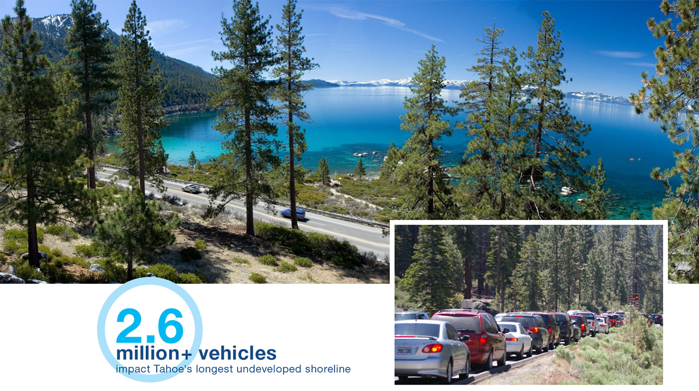
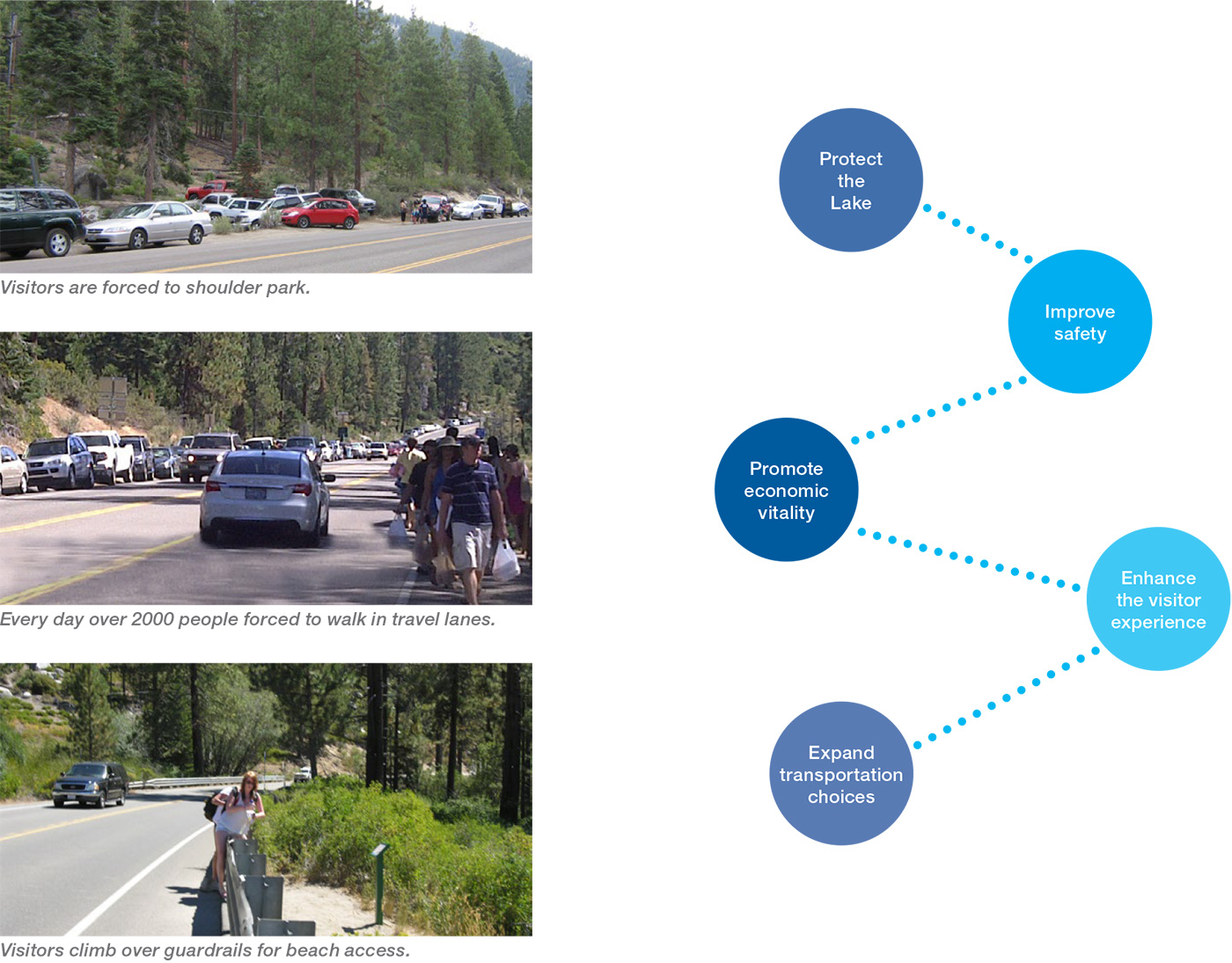
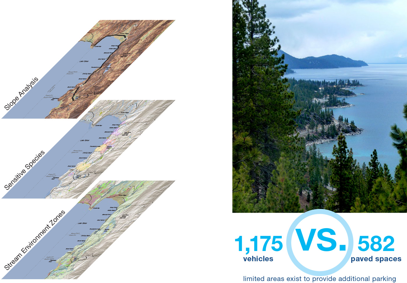
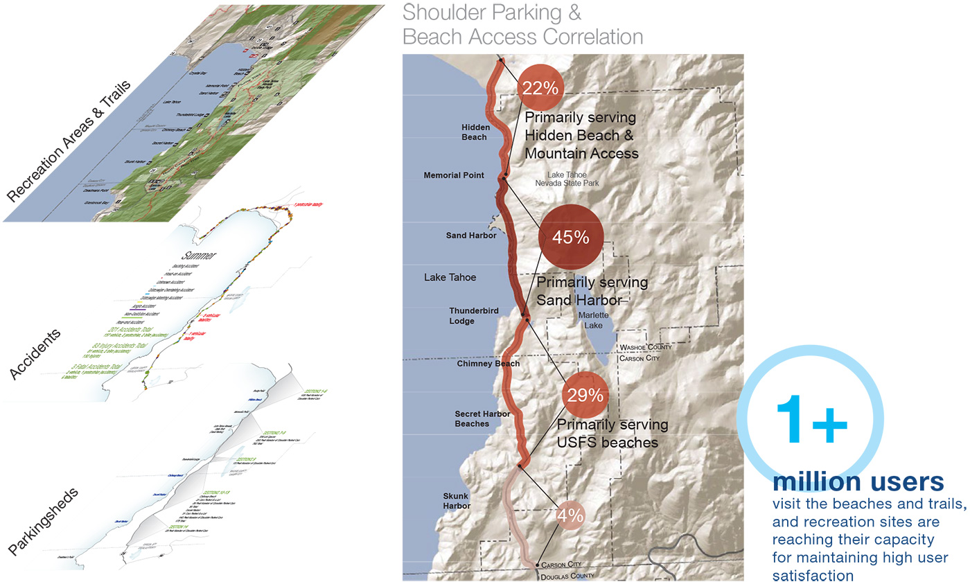
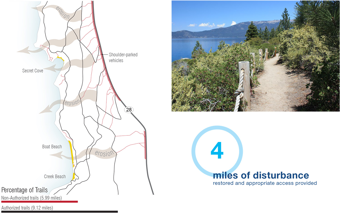
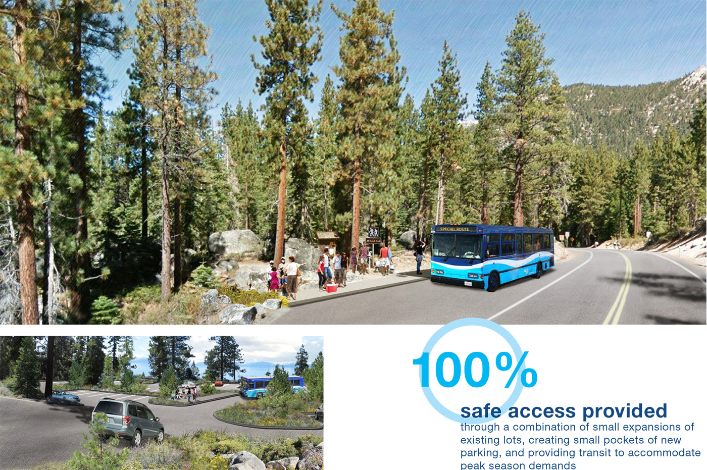
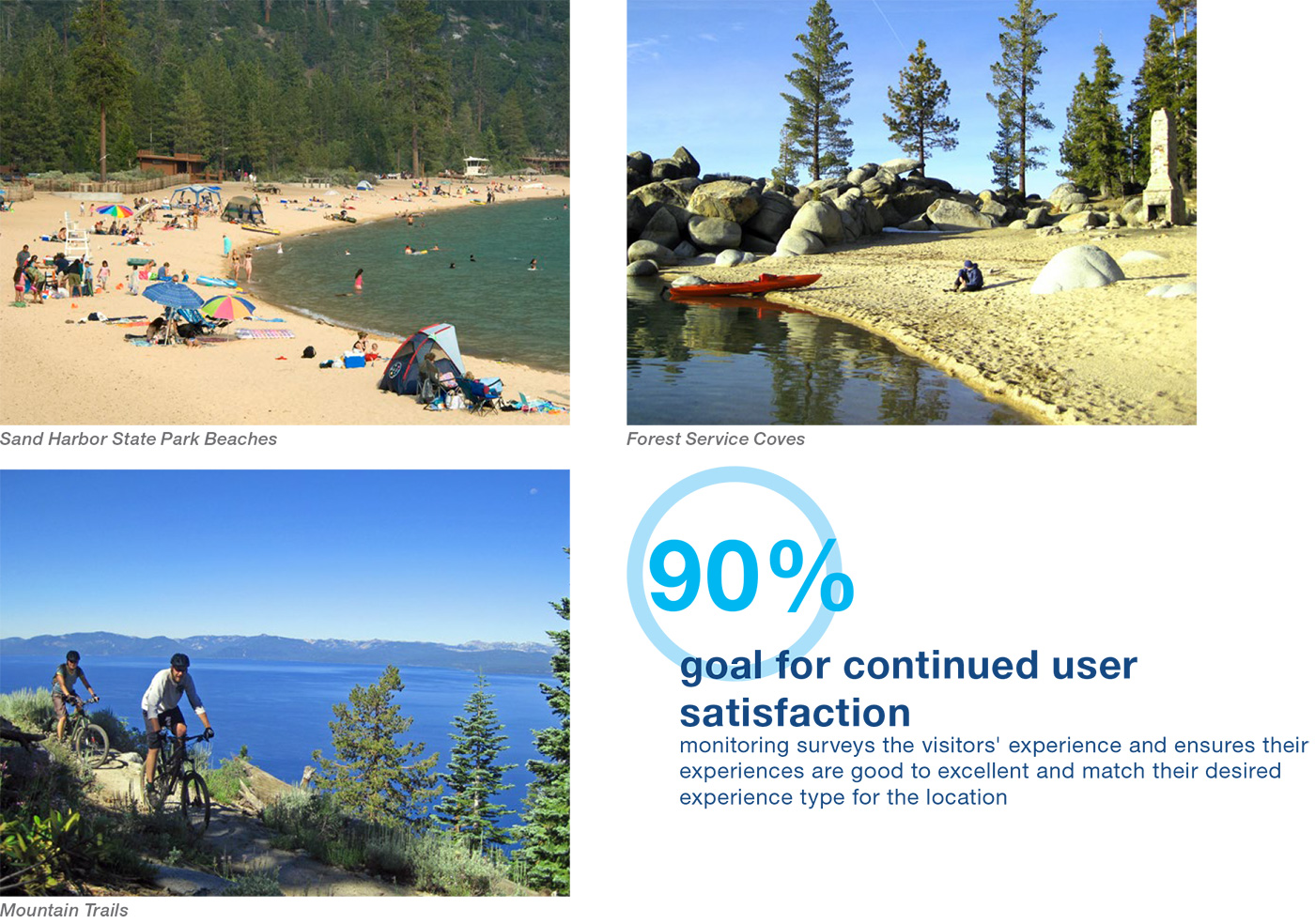
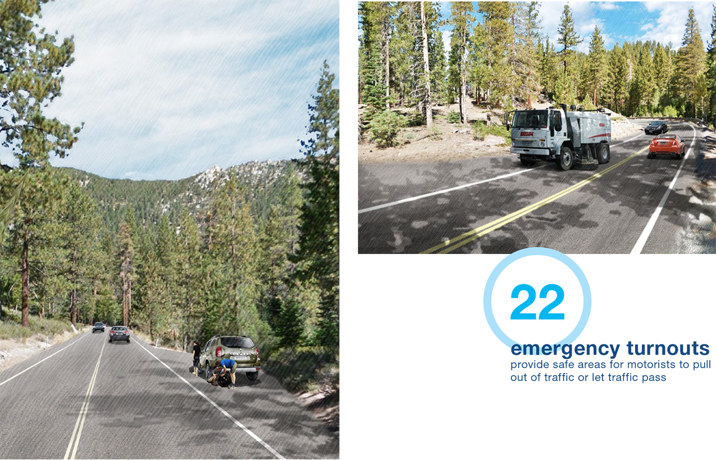
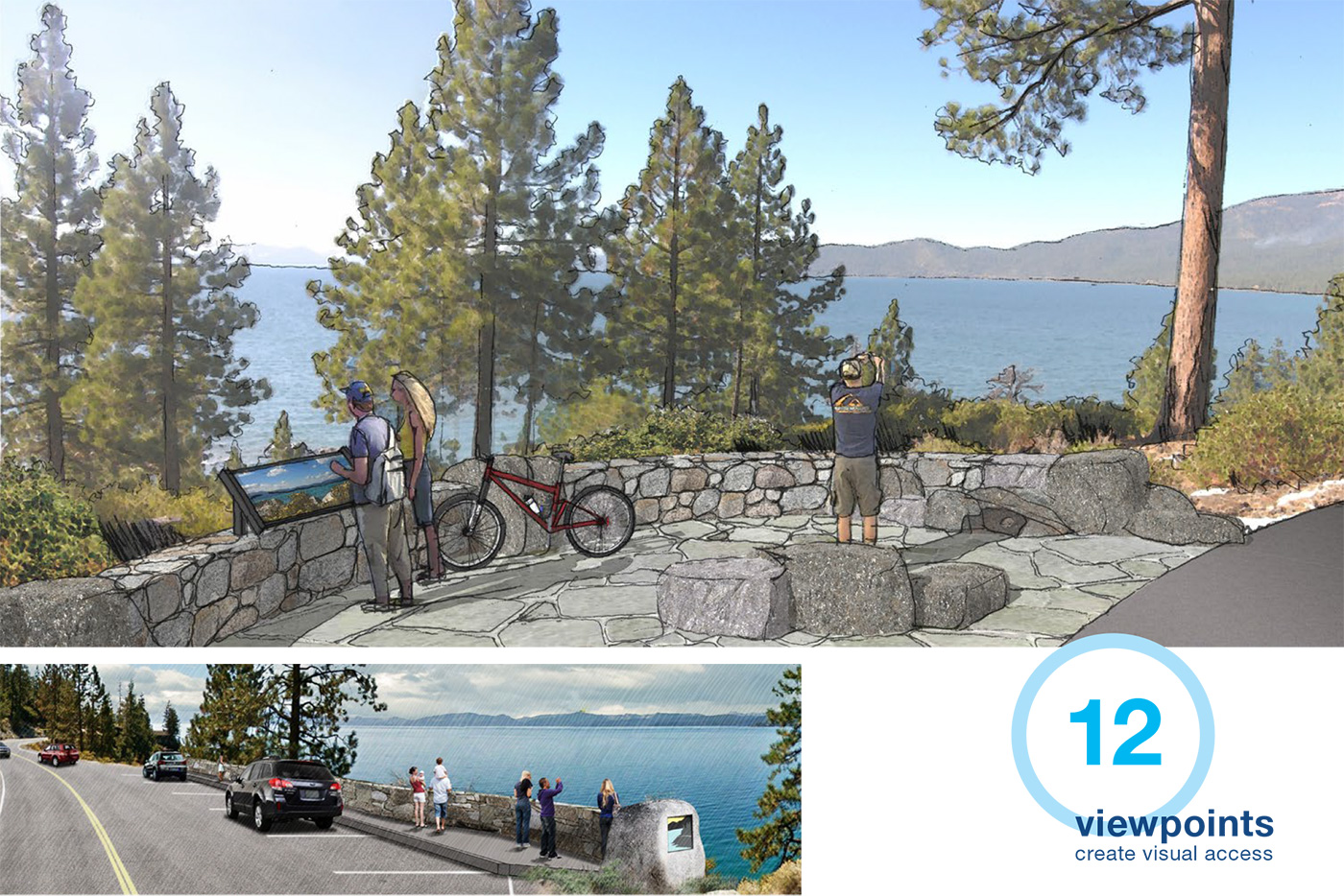
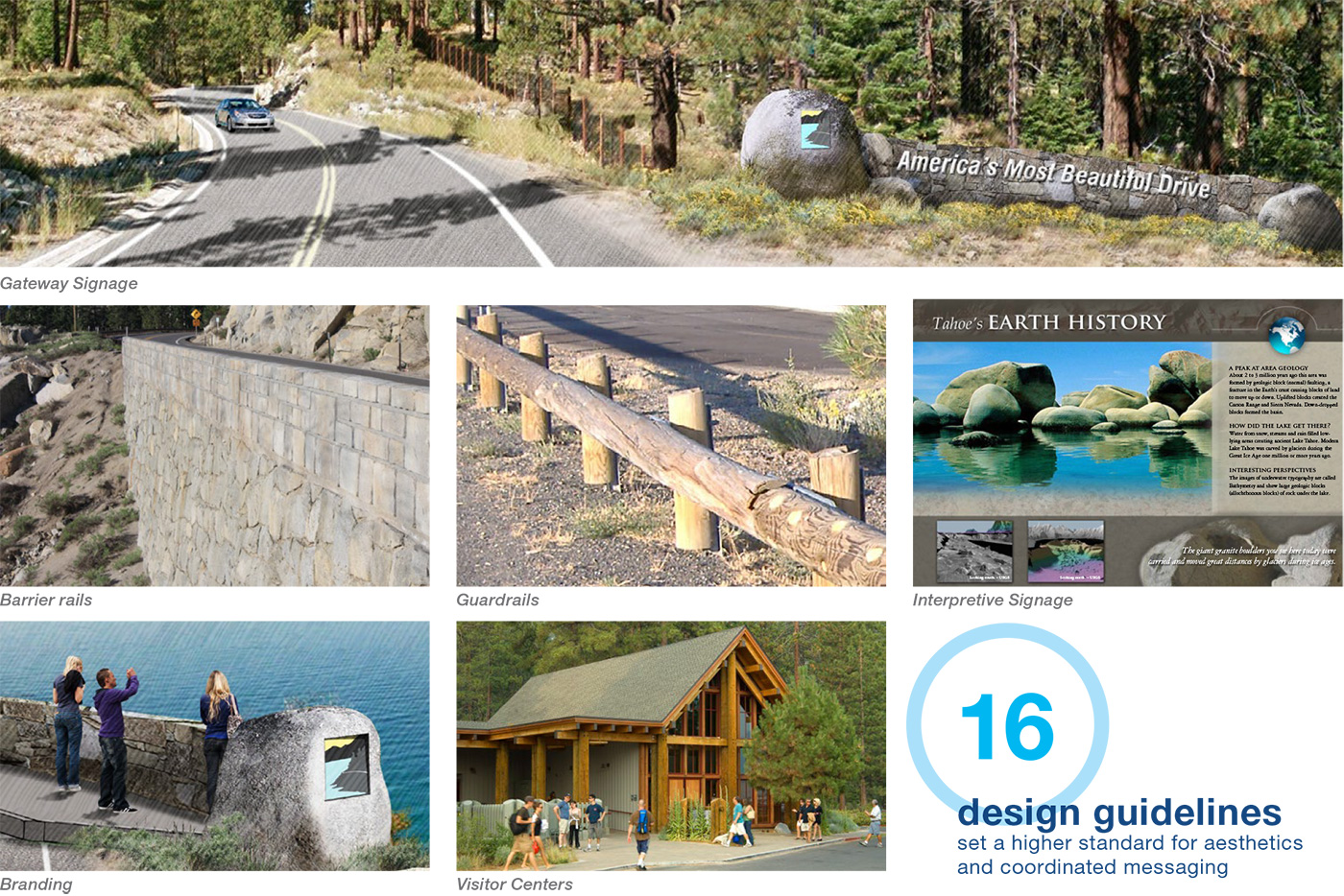
Eleven miles of undeveloped shoreline, the longest stretch at Lake Tahoe, parallels Nevada State Route (SR) 28. This two-lane mountainside road is the only access route for over one million recreating visitors. Its popularity continues to grow, but the area’s sensitive resources began to suffer due to a lack of coordinated solutions for safer, adequate access to a variety of recreation experiences. In a response to safety and environmental concerns, an unprecedented partnership was facilitated between thirteen agencies to develop a Corridor Management Plan. The plan creates a platform for effective collaboration to protect and create “America’s Most Beautiful Drive.” The plan highlights five main goals: protecting Lake Tahoe, improving safety, promoting economic vitality, enhancing the visitor experience and expanding transportation choices, including 11 miles of bike path along the east shore of Lake Tahoe. The plan has been put in action to potentially fund almost $50 million in improvements through grants and leveraging partnerships. Future maintenance and management roles were established to allow the plan to be a living document for continued success.
Services Provided: Land Use Planning, Recreation Planning, Signage, Facilitation
Awards
- Honor Award for Analysis and Planning, ASLA Nevada
- Project Excellence Award, Society of Outdoor Recreation Professionals
- Award of Excellence, ASLA California Sierra
Client
Tahoe Transportation District
Collaborators
LSC Transportation Consultants, Karen Mullen-Ehly, Partnering Stakeholder Groups, Smith + Jones, Kathy Jordan, Crowdbrite